Saturday, March 7, 2020

pocket arch (attempt #3)

We thought we had it this time.  We really thought we'd found Pocket Arch.  It is not entirely undocumented: it is on the circa 1991 map we have of Sand Flats Recreation Area; it is in one of the funky little F.A. Barnes hiking books; H found two mentions of it (and only two) online, each with a set of coordinates.

So Sunday morning, he put the destination coordinates into our GPS.  We drove up to the Sand Flats and parked in the Slickrock parking lot, crossed the road, climbed up onto the slickrock fins and started following the GPS.

Hey, look - it's Low Arch (again)

We pretty much made a beeline out to the cliffs over Millcreek Canyon, keeping to the slickrock fins and, when we had to cross sandy areas, washes where we could walk where the water had/would run.  Before too long, the canyon was in sight and I thought I recognized where we were: "Oh!  It's Low Arch!"  We were surprised, because when we found Low Arch the first time, we had then been unable to locate Pocket Arch, despite our references saying that she'd stopped at Low Arch en route to Pocket. 


We kept at it, following the GPS right up to the edge of the cliff.  We stared in the direction it indicated, where - supposedly - .14 miles straight ahead Pocket Arch was located.  Nothing.  We could see nothing.  Nothing in front of us, nothing at the bottom of the canyon, nothing across the canyon in the cliff wall facing us.  I guess maybe the arch could have been snug up against the cliff wall under us, and we just couldn't see it, but, nope.  Nothing.

Curses! Foiled again!  But now it's personal: we will find Pocket Arch this year.  Now we're obsessed.

Buddy the Elf at the Slickrock parking lot

Hike stats:  4.8 miles; 2:18 total time and 2.1 m.p.h. overall; around 1,800 feet of elevation


Wednesday, March 4, 2020

uranium arch

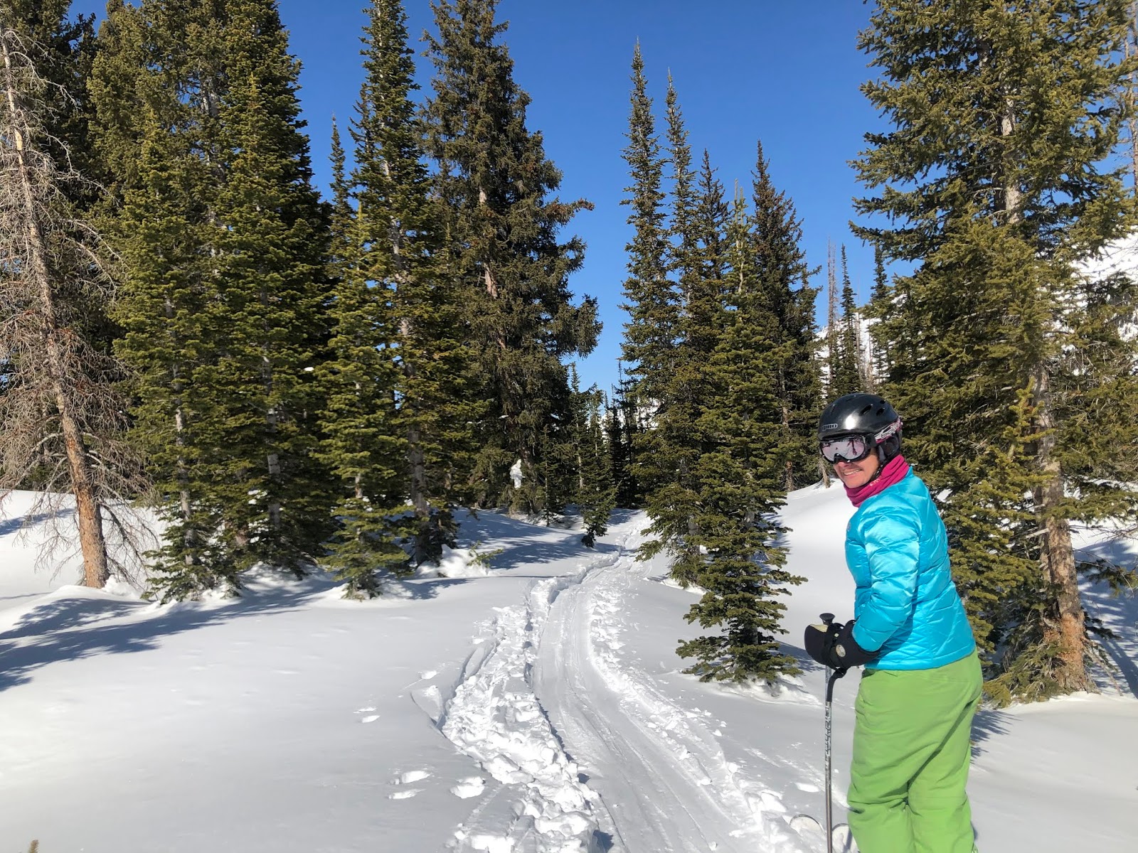
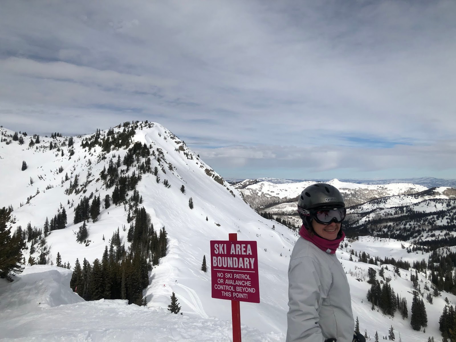
Northern Utah (and its ski areas) has been having a bit of a dry patch lately, which encouraged us to throw our hiking stuff in the truck for another Moab weekend.  I picked out Saturday's hike - to Uranium Arch - not only because it looked like a good one for solitude this time of year, but also because it looked really exposed (i.e., little to no shade) which we wouldn't want to do later into the spring/summer.

Courthouse Rock

The trailhead is north of town, in the Mill Canyon multi-use area.  In this case, "multi-use" means hiking, MTBing, equestrian, dirt bikes and OHVs, BLM camping and dinosaur tracks.  Our trail guide suggested that we could drive in a ways to park but there was a wash crossing that looked a little wet so we ended up at the main staging/parking lot.  It's a big lot, with a pit toilet and corrals for horses; we were only of only three vehicles parked there.


Parking where we did added another 2+ miles to the round trip but it's pretty easy hiking: mostly jeep roads, with some sand and some slick rocks ledges.  Basically all you do is follow the signs to the M&M (Monitor and Merrimac) trail/Uranium Arch.  Other than the sign showing the turn-off of the M&M trail towards the arch which is on the back side of the sign post, this trail is amazingly well signed.  It's good that it is because this area has lots of jeep roads, all just waiting to be explored.

Uranium Arch

Uranium Arch (there's actually no uranium in the vicinity) is a good-sized arch, overshadowing an alcove in the rock.  In the summer, that alcove will provide the only shade in the area.  A local conservation group has protected the feature, roping off a parking area for jeepers.  We had it to ourselves.

Not impressed with the boots

In addition to exploring new territory, this hike was Milton's first real outing with his new boots.  We got them for him because we do so much hiking with him on slickrock, which is very abrasive: this makes for excellent MTBing but is hard on dogs' paws.  He also tends to get a lot of cactus spines and goatheads in his feet when he explores off the trail.  Saturday was Milt's third time wearing the boots and although he did walk a little funny, he figured it out quickly.  He didn't like them at all - and registered his protest by trotting ahead, sitting in some shade until we caught up and then trotting ahead again, instead of ranging and racing far afield - but he likes hiking so much that he was willing to put with them.

The boys descending the slickrock shelf below Courthouse Rock

This was (I think) our longest hike of the winter thus far and we were all glad to take off our boots when we got back to the truck.  There was a moderate amount of activity in the parking lot for us to watch as we had beers and snacks (Milton got extra dog cookies for being a good sport): picnickers, dinosaur groupies, dirt bikers, range cows, etc.  We also checked out the kiosk that listed the equestrian rides; since we can hike anything a horse can do, we noted several other loops for us to come back and explore at a later time.  So many places to go!

This rock formation was so unusual 
and we only found it in this one spot

Hike stats:  8.66 miles; 2:41 hours and 3.2 m.p.h. moving average / 3:03 total time and 2.8 m.p.h overall; 930 feet of elevation


Monday, March 2, 2020

an actual bluebird day

Sunday was crowded in the morning but less so than Saturday.  There were some lift line shenanigans but noticeably less so than Saturday.  Temperatures were cooler and the snow was snow but the skies were completely clear and way sunnier than Saturday.  We're going to call it a win!

Temperatures in the high 20s/low 30s meant that the snow never softened very much even with the bright sun.  Off piste terrain remained a bit stiff well into the afternoon and as the high traffic areas got skied off, they got pretty slippery, i.e. the closest thing to "icy" Utah has.  As I haven't bothered to get my skis tuned yet this year, the skied off sections were a little dicey as I couldn't get an edge in and kept skidding through my turns.  Because the sun was out, however, I could see the best spots to ski and didn't get surprised by much.

Sunshine!!!!!

Like we had done the day before, we skied Collins all morning because it had the best/fastest lift line.  At one point I went over to the Sugarloaf side to see if Razorback had any softening bumps.  It didn't: it had been groomed flat although the snow on the lower face started to soften around noon. I couldn't face the alarmingly long singles line at Sugarloaf and so ended up doing another around-the-world back to Collins.

Birds singing and critter tracks all over in the woods

With the gorgeous sunshine, it was warm enough for people to want to eat outside, so Alf's wasn't crowded at lunch.  And after that, the hordes cleared out and we were almost able to ski right onto the lift at Supreme.  We played around there during the afternoon: going into the gate below East Castle again; bouncing down the gullies between Challenger and No. 9 Express (that thankfully weren't frozen rock hard); poling across the highest traverse around Supreme Bowl, into Catherine's Area and then into the first gate in the first meadow for a go at those trees we like so well.  The snow was still pretty good in there and we almost had it to ourselves, only sharing it with one kid, skiing alone, who passed us while exclaiming out loud, "That was so smooth! This is so great!"  He was absolutely right.

While it wasn't perfect snow conditions this weekend - truly, the entire mountain is completely skied out - it was still decent skiing, and the sunshine on Sunday was terrific.  Also terrific: seeing all the avalanche dogs out and about.  We saw Banjo (?), Monty and Lucy, all working the crowds at Wildcat base - still waiting for an OC sighting though.

Friday, February 28, 2020

in which it is almost sunny

Time goes by so fast: because of travel and a brutal head cold, it had been nearly a month since I had gotten up to Alta.  We rode a full bus up there (going fifteen minutes later exponentially increases the bus ridership) on Saturday morning.  I was happy to see sunshine and blue skies, but it didn't last, with increasing clouds throughout the day.  It was plenty warm, however, with temperatures in the 30-40 F range.

The warm temperatures kept the snow fairly soft but honestly, the snow wasn't terrific.  It was fine and the coverage is there.  Every single part of Alta was open, including Baldy and East Castle.  And since there hadn't been any new snow for a while (after a whole winter of regular storms cycling through), absolutely everything was tracked out.

Gathering clouds

There were lots and lots of people in the morning and there were innumerable instances of lift line shenanigans.  We skied the Collins singles line the whole morning: we made one attempt to switch over to Sugarloaf but that singles line was backing up the hill to Alf's so we rope-towed it back to Wildcat base.  Lunch wasn't crowded, however, in part because it was warm enough for people to sit outside, and after lunch, when we skied Supreme, the line was way down.

Must be afternoon: no people in the background

We did find some good snow when we did a run into the gates under East Castle/the Apron, where it was soft and barely tracked out.  It was pretty good there - plus there wasn't anyone in there with us.

At 2:30 H's feet were crying uncle in his old boots so we skied out.  Figuring Milton was happy enough napping, we had a pitcher of Cutthroat (they were out of Johnny's IPA) upstairs at the Goldminer's Daughter Saloon.  Up there we talked a little with a kid - Alta employee - from Massachusetts who graduated from UMaine/Orono, did raft guiding on the Penobscot River and climbed in North Conway, New Hampshire before he moved out to Utah three years ago.   There are transplanted Easterners everywhere in Utah.  You can usually find them out on trails or on bar stools.

Wednesday, February 26, 2020

quest for arches

H and I both like books and maps.  We have a decent collection of hiking materials and are always happy to add to it.  I especially like finding odd little locally-published hiking guides at Back of Beyond, like a pamphlet and corresponding map to the Sand Flats Recreation Area.  The tricky part about these materials is that they were published in the early 1990s, before Moab really got discovered and all the new trails were put in.  This can make following the guides difficult as the landmarks and roads are often no longer there or new roads and trails have been put in after the book was printed.

Cute little Low Arch!

We discovered this challenge back in May, when we tried to find Pocket Arch.  Since that unsuccessful (but still scenic) meander, H found a booklet online devoted to all the arches in the Sand Flats area, complete with GPS coordinates.  On Monday, armed with our GPS, map and both books, we set out to find Pocket Arch.  Spoiler alert:  we were again unsuccessful.

Firstly, new campsites have been put in since our booklet was written so it took us a while to find the old road across the sagebrush meadow and out to the slickrock.  Once on the rock, we used the GPS to hone in on our goal, moving steadily towards the edge of the North Fork of Millcreek Canyon.  At first the booklet was right on:  she said she found Low Arch en route to Pocket Arch ... lo and behold, we found Low Arch!


From there, however, the GPS coordinates didn't make sense: we followed them right to the edge of the cliff where, even peering over the edge, we couldn't see anything that looked like Pocket Arch.  We went back and forth a bit (putting Milton on his leash when we were along the cliff edge) but couldn't see anything and couldn't find a way down into the canyon.  Curses, foiled again!

We halfheartedly tried to find a different arch and then had to laugh when we ended up out on the same section of Fins N Things that we had explored in November, when we actually found Little Eagle Arch.  It was starting to get late in the day so we gave up our quest for the day.  But we are determined to find Pocket Arch: H found some additional information online when we got back home and one of these days we're going to get to it - it's a matter of pride at this point.


Hike stats: 5.63 miles; 2:10 and 2.6 m.p.h. moving average / 2:38 and 2.1 m.p.h. overall; 840' elevation

Saturday, February 22, 2020

return to amasa back

On Sunday it was ... cloudy!  (We're beginning to wonder if the sun will ever come out in Moab while we're there.)  That did not dissuade us from putting on our hiking gear and heading down the Kane Creek Road to the Amasa Back trails.

We did the same hike that we did last June although there were a few differences.  The winter cow gate was closed (and we kept it closed, as instructed); we saw no motorized vehicles of any kind (dirt bikes, jeeps or other 4x4s); and Milton didn't have to be on the leash this time.  He really seems to enjoy this kind of hiking, where he can run around but always have us in view.  It's much more pleasant for us as well as we still haven't taken him to obedience classes to work on not pulling on the leash.  He does really well at coming back when we call him, however, and I feel like that's one of the most important things.

Heading up the Hymasa trail

Even off leash he did pretty well with the MTBers.  I'm sure it helps that many of them are dog people themselves!  When we saw them coming, we were able to call him back and keep him out of their way; we only had one instance where his being on the trail made a MTBer put their foot down, and it was a narrow, technical bit that I'm not sure that guy was going to ride anyway.  (Plus the guy gave him an ear rub so all was forgiven.)

Looking back towards the Amasa Back trails from the Cliffhanger spur

After a snack break at the overlook, we took a quick walk up to the ridge on the Cliffhanger jeep trail spur.  Apparently this is a dead-end overlooking the Colorado River and the Poison Spider trailhead but we didn't go all the way out to see for ourselves.

We had more important things to do like: descend via the jeep trail and return to the parking lot where Milton, still off leash, walked directly over to a group of MTBers drinking beers and introduced himself.  He also made friends with two girls and their pack of three dogs, one of whom was also an Underdog rescue, just like him.  When our beers were done, we had to convince him to get back in the car and go home with us.  We may be dog-people but our dog is a people-person.

Desert boys

Hike stats:  6.62 miles; 2:25 and 2.7 m.p.h. moving / 2:51 and 2.3 m.p.h. overall; 980' elevation

Wednesday, February 19, 2020

metal masher

A long holiday weekend meant an extra day in Moab!  We finagled our schedules to allow us to be on the road a little after 2 p.m. on Friday, which got us to Moab a bit after 6, which allowed us to snarf some dinner before walking over to Woody's.  Which allowed us to have beer.

Beer = good

Although we had been hopeful that we might see the sun, since we were in the desert and all, the forecast was looking decidedly cloudy.  It was much warmer than it has been all winter, however: low 50s F, which seemed nearly balmy after all the days in the 20s that we've been having.  We let it warm up a bit and headed out towards Dead Horse Point State Park and Canyonlands/Island in the Sky.  There were definitely more people in town and at the trailheads than we've seen for a while as we're moving steadily towards the busy season (i.e., March through November); this means we need to knock off some of the more popular trails before the hordes arrive.

Metal Masher - sounds so ominous!

We turned off 313 onto the Gemini Bridges road, passing just a couple of cars on our way in.  I had hoped we could get to the actual Gemini Bridges / Crips Hole area, but the road started getting sandier and rockier than we were willing to risk the Subaru.  So we backtracked a bit, found a wide spot in the road to park, and headed out on foot on Metal Masher, with Milton ranging ahead.

Shoulder season: between snow and green

Metal Masher is a 4x4 road with some routine dirt roads and also some wicked gnarly sections (Rockchucker, Mirror Gulch and the infamous Widowmaker).  We were only planning to walk a portion of it and used a cut-off before we saw any of the really rough stuff.  This is a very popular trail and there is no way we'd want to be out on it when the off-roaders are out in force.  As it is still the slow season, we didn't see anyone else until we were back at the car after our hike, when a parade of 20+ jeeps went by.  They all waved at us.

Easy walking

Since we were on a dirt road, the walking was really easy.  Milton must have done double the mileage H and I did, racing back and forth along the road and plunging into the sagebrush after small critters (real and imaginary).  After we took the cut-off and were heading back to the car, there were lots of tumbleweeds fetched up in the road and Milt got quite a few stickers in his paws.  He's very patient, though, and if he can't pull them out himself, he'll sit quietly until we can remove them for him.  (This has confirmed that we need to get him some booties to protect his paws from both the abrasive slickrock and all the desert thorns.)

Range cows

Just before we finished up, the road led us through a small herd of range cows.  Some of them looked very pregnant and one had a calf with her who couldn't have been more than 48 hours old.  While that cow quickly led her calf away, the rest of the herd was unimpressed with us.  Milton didn't chase them (thank goodness) but instead walked up to one of them and just stared at her.  When she turned and walked away, he started to follow but H called him back and he returned to us right away.  Cows are not Milt's jam, apparently.

Hike stats:  5.86 miles; 1:58 and 3.0 m.p.h. moving average / 2;10 and 2.7 overall; 410' elevation

Saturday, February 15, 2020

cleared out

H went up to ski for a couple hours on Sunday.  It was looking pretty chilly so he didn't get on the bus until 9:30 a.m. or so; this proved to be a mistake as the bus was standing room only at that point, plus they were all stuck in traffic for over an hour.  At 10:15, a cop showed up to escort the bus ahead of the line of waiting cars, getting them from the intersection of Wasatch Boulevard to the base of the canyon road.  Even at 11:20 a.m., the Collins lift lines were out past the end of the corral, despite the Alta ski patrol having done a heroic job of opening all terrain but East Castle and Baldy.

Look at that sky!

Skiers were out in hordes and at 1:30 p.m., UDOT had to close the Little Cottonwood Canyon road to uphill traffic.  Both Alta and Snowbird's parking lots had long since filled and the traffic congestion on the road - still overwhelmed by avalanche debris - was gnarly.

Whether it was the cold, the crowds or the fact that the snow was heavy and dense (i.e., not ideal Utah conditions), H wasn't feeling it and skied out for the 2:30 p.m. bus.  It wasn't the longest or the best ski day, but he did get out there under those gorgeous post-storm bluebird skies.

Wednesday, February 12, 2020

wild weather

In the interest of full disclosure, I had to go back east last week.  While I was there, I missed some seriously crazy winter weather.  On Monday, a monster snowstorm dropped around nineteen inches in the Salt Lake Valley, making a real mess for any commuters who couldn't work from home, but only brought seven inches to the mountains.  That's not the way it's supposed to go!

And then on Thursday, an even nastier system - with very wet, heavy, dense snow - lodged itself in Little Cottonwood Canyon, forcing both Alta and Snowbird to shut down operations for two days and putting folks on interlodge for 52 hours.  The avalanche danger was immense: one natural slide came across the canyon road at Snowbird Entry 1, burying it in nine feet of snow; we saw videos circulating of another natural slide that came off Superior, crossed the road and inundating cars parked at the Peruvian and Alta's Wildcat base.  Update:  here's Alta's description of the historic event.

After a heroic effort by resort staff, UDOT and the Utah Avalanche team, the Little Cottonwood Canyon road reopened Saturday midday, but then UDOT closed the road again due to traffic congestion, as everyone in the valley tried to go skiing.  Even Big Cottonwood Canyon, which didn't get quite as much snow, nor does it have the high avalanche danger as its neighbor to the south, got shut down for traffic congestion as frustrated LCC skiers attempted to go to Solitude and Brighton instead.

For all the drama and hubbub, snow totals in the mountains didn't exactly skyrocket.  The state's overall snowpack is looking decent though, as we head into the back half of the ski season:


Friday, February 7, 2020

h goes skiing

The timing couldn't have been better, actually.  H had the whole week off, coincidentally coinciding with the Maine guys' ski week.  Those guys skied at Alta on Monday and Tuesday; there were seven of them so with H joining in, that was enough to fill two quad chairs with no one being left out.

The guys below Gunsight 

It wasn't at all sunny but the conditions were good.  One of the Maine guys used to be a lifty at Alta and H was more than happy to hand off tour guide duties to him.  This meant, of course, LOTS of runs off the High Traverse, Gunsight multiple times and the opportunity to huck 6+ foot cliffs.  H wisely opted out of hucking said cliffs, to the relief of a couple of the other guys.

Will and H just after the rope was dropped
(PC: Peak Photo)

For Wednesday and Thursday, the guys opted to ski Snowbird instead.  Although H has a couple of complimentary tickets to the 'Bird due to our season Alta passes, he decided to stay low-key, skiing the trees at our home mountain in the clouds.  He wasn't alone: the 150" January inches ("Januburied") made the bus SRO both days.  But once out on the hill, the crowds faded away and he was able to enjoy the quiet.

Let's call it low visibility

He didn't huck any cliffs those days either.