
Giant moon over Superior
Temperatures in the 20s is not too cold to hike, however. So we dithered around for a long time, trying to come up with a hike that met our day's criteria (not too far to drive, not too steep, not too crowded). Failing something original, we fell back on the familiar and drove up to Alta. Where it was 28 F in the sun with much colder windchill. We both put warm hats, mittens/gloves and fleece on and hit the trail.

#winterishere
We went up the front side, following the access road up Collins Gulch. This is pretty steep for hiking uphill (although it doesn't seem so bad skiing down) and once we got out of the shade, we warmed up enough to shed a layer. Other than several Alta trucks out and about, we didn't see anybody - no other hikers, no deer or moose (but lots of tracks) and only a couple of hawks and chipmunks, the latter ostensibly keeping an eye out for hawks.

Brrrrrrrrr
At Collins pass, we headed down into the Sugarloaf bowl, mindful of our footing on the snow and ice. Oh yes, I forgot to mention this earlier: there is really quite a lot of snow up there at Alta, especially for how early it is. These cold temperatures have encouraged it to stick around, even with all the sunshine. We kept on the access road as it followed the Sugarloaf chair, then turned left into Glory Gulch. We don't usually hike down this way because it is a little longer - several long switchbacks crisscrossing East Greeley - but there was no reason not to. I had gotten a bit chilled when we started the descent but it warmed up (a little) as we got down lower, although not so much that I was willing to take off my mittens.

Sugarloaf, foreground and background
When we got to the base of the Sugarloaf chair, we turned left again and went down through the Albion meadows, past the places where they'd been testing the snow guns - the grass looked like its tips had been frosted. From there, it was an easy cruise down the Summer Road and back to the truck, and then an easy cruise down the canyon road for beers and french fries at the Porcupine. Why? Why not!
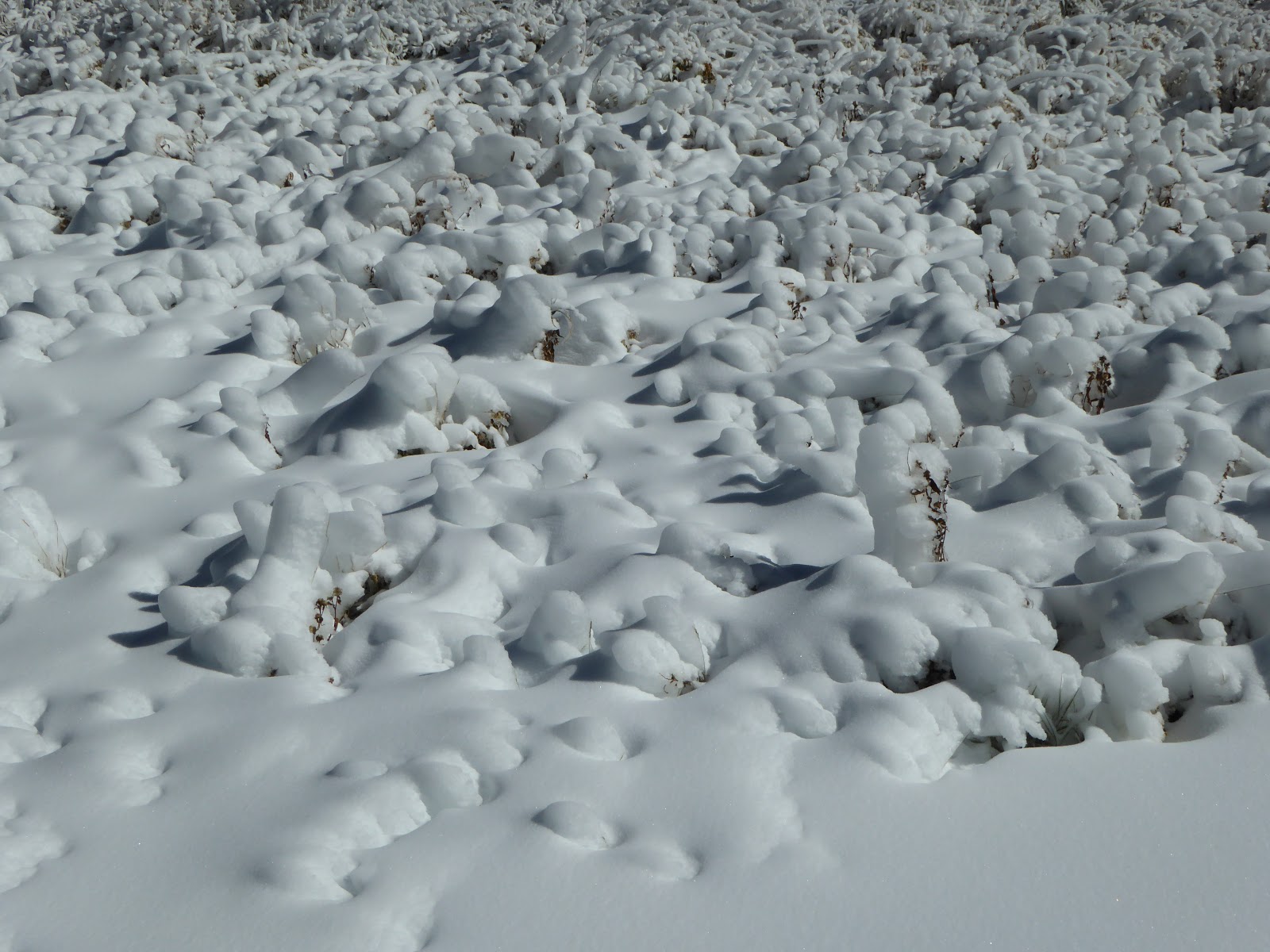
Snowmaking testing (and rock hard)
Hike stats: 6.63 miles; 2:37 total time (2:17 hiking, 2.9 m.p.h.); 1,800 feet of elevation; no blisters.
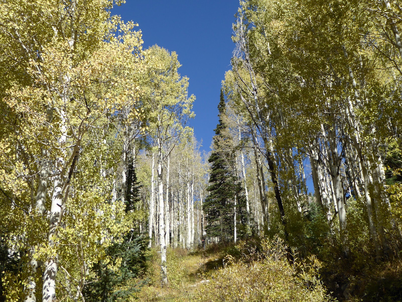
Aspen trees and blue skies


No comments:
Post a Comment