
The view from DHPSP never disappoints
We did the Big Chief trail on the Intrepid (east) side of the park, then went across the park road (on the Crossroads trail - cleverly named) to the newer trails on the west side. Out there, the trails were packing down nicely - they had been so sandy when they opened in 2014. We went out and back on Whiptail and did Twisted Tree to add a little lollipop loop. Although I have to walk a fair bit of Twisted Tree, we both felt like we were riding pretty well.

Hell Roaring Canyon
Not having to dodge other riders certainly makes MTBing more fun. We saw a lone hiker on the Intrepid side and encountered only five riders (a family of four and a single guy) on our way back from the west side. We didn't even come across any riders heading out as we finished up, and that's usually where you get pushed off the trail by newbies and little kids. The parking lot was packed with tourists, MTBers and hikers when we got back to the truck and we couldn't believe we had been so lucky out on the trails. Ride stats: 16.38 miles; just under 2 hours; average speed: 8.5 m.p.h.; max speed: 17.7 m.p.h.

Looking for a way down
After a quick sandwich to refuel, we drove out of the park and north on 313, as though we were going back to town. At the sign for the Lone Mesa Campground, however, we turned left on the dirt Dubinky Wells road. We were looking for a "trail" to the Comet Thrower, a pictograph site in Hell Roaring Canyon that I'd learned about by poking around on hiking blogs. Since we've hiked most of the official trails in Arches and Canyonlands NPs, we've been trying to explore further afield.

This is the place
We left the Dubinky Wells road, veering off on the Spring Canyon road, passing numerous primitive BLM camping areas. At about six miles in, we crossed the Dubinky Wash and parked at an empty campsite. After wandering around the slickrock for a while at the rim of Hell Roaring Canyon, with no one but jack rabbits, birds and lizards for company, and utilizing our GPS, we finally found the so-called trailhead (coordinates for the drop-point are N 38 37.681 W 109 53.759).

Over the edge and to looker's left
While we were thrilled to have found the point we were looking for, we were less thrilled with what we actually found: barbed wire wrapped around iron bars drilled into the rock ledge, and very loose footing down the scree on the cliff face. We debated it for a while, making note of the time of day, how much water we were carrying and the potential distance ahead of us (10+ miles round trip).

Mind the barbed wire, though
In the end, we nixed descending into the canyon and instead went back to the truck (identifying some truly excellent campsites for future reference) and instead had beers in the shade of a juniper tree, with the spectacular desert scenery spread out in front of us. Can't say that was a bad decision. Hike stats: just under 3 mi., about 2 hours of walking around. It does look like a good hike, however, and now that we know where it is, perhaps we'll go back earlier in the day and try it again.
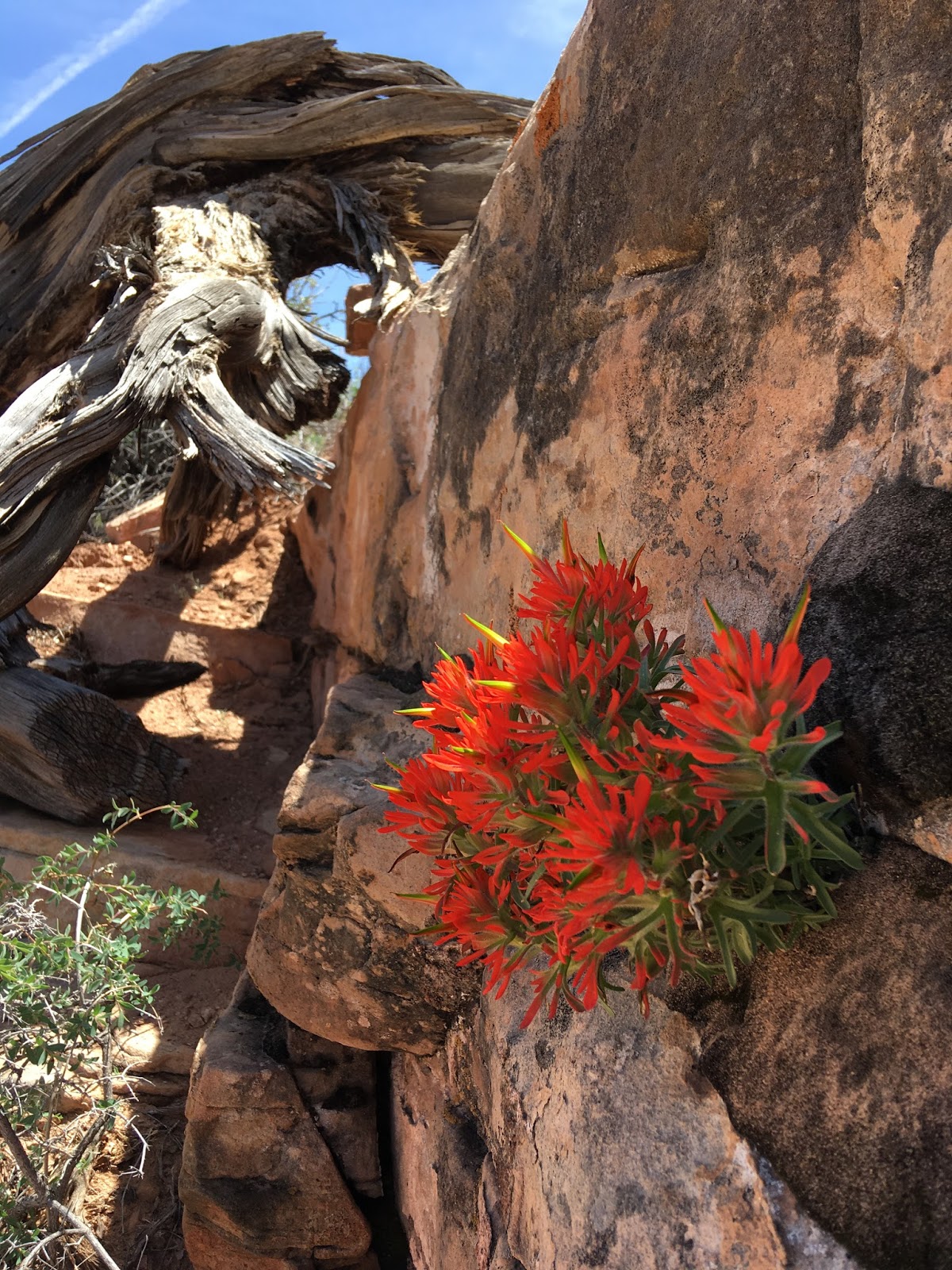
The desert is so beautiful
When we got back to Moab, it was much warmer in town than it had been up on the mesa. We got cleaned up, went to dinner at 98 Center (steamed buns, cold noodle salad, pho and bahn mi, with one of the best local spring greens salads I've ever had). Afterwards, it was a lovely evening for sitting outside our room with drinks, chatting with our motel neighbors and making plans for the next day.


No comments:
Post a Comment