
Oh deer

A and H, top of Clayton Peak

And P and H, top of Clayton Peak
The views are usually spectacular on this hike, where you can see where you're going and where you've been all the way around, not to mention about seven different ski reasons and Mt. Timpanogos. This time, however, the smoke from local and California wildfires made it difficult to see anything much further than Big and Little Cottonwood Canyons. We did get a break in the haze for a while, though, hence the blue skies in a couple of these photos.

H at The Nook on Preston Peak
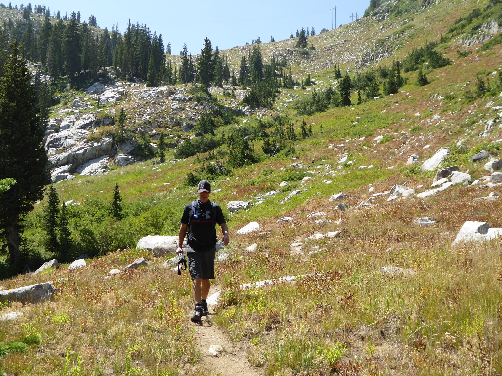
We started at Brighton, went to the top of Clayton Peak and then backtracked a little to the top of the Snake Creek Express chair. From there, we found a faint trail that took us to the top of Preston Peak and then down to the Crest Express chair. Finding this faint trail was a HUGE bonus: the last time we did this, we went far out of our way on the access road to get to the top of Crest Express. This faint trail saved us about a half hour of walking.

Looking at Sunset Peak from Pioneer Peak
As has happened before, we had to do a little route-finding along Pioneer Ridge to Sunset Peak. Because so few people do this section, the trail is very faint. It is sandy and loose footing too, and very steep in spots, with some definite no-fall zones. The key is to go slowly, looking ahead, and not to worry.

A and P on the final approach to Sunset Peak
There were a fair number of people atop Sunset, as well as down lower on Catherine's Pass. We had the option of heading out there - going back down to Brighton past Lakes Catherine, Martha and Mary - but it was decided that we would keep going and finish the loop. So up we went, first Tuscarora, then Wolverine.
P in the meadow below Twin Lakes Pass
We chatted briefly with a couple of Forest Service rangers as they lunched on Wolverine, then continued around the cirque and down to Twin Lakes Pass. Here we took the steeper (and possibly not official) trail down the meadow's bowl and walked out along the shore of the reservoir. Then, only the last bit remained: to walk down the access road to Brighton base. Since the air temperature was relatively cool, this section wasn't the hot, baking slog it often is.

Cheers for post-hike beers!
There was a fair amount of action happening at Brighton base: a little flea market, cruising motorcycles, people lunching, hikers and trail runners coming and going. We ate our own lunches off in our own little corner and then bid adieu to P. Hopefully he'll be willing to hike with us again: nearly ten miles, mostly above 10,000 feet, is not easy, especially for someone who was living at sea level less than a month ago!

Hike stats: 9.81 miles; 2.0 m.p.h. moving average; 7:20 total time; 4,060 feet of climbing


No comments:
Post a Comment