
Not even dirty yet
The parking lot was filling but not full, hikers and MTBers (MTBs are allowed on the upper trails on even-numbered days; off-leash dogs are allowed on odd-numbered days) gearing up. Several trails depart from that trailhead and we veered to the left on the Old Red Pine Road, leaving the hoi polloi behind. We had taken this trail once before, when we hiked to the saddle and bushwhacked to Murdock Peak in July 2011. The trail is very nice, gently but consistently climbing, hard-packed and level dirt underfoot. The flowers were spectacular, especially a nice stand of fireweed. Botany sidenote: Fireweed is interesting because it is one of the first flowers to appear in an area after a forest fire; then, as more vegetation returns, fireweed gets squeezed out. It's also a cool flower because it tells you where you are in the summer: it starts blooming at the bottom of the spike and when it gets to the top, you know summer is over.

Fireweed: summer ain't over yet
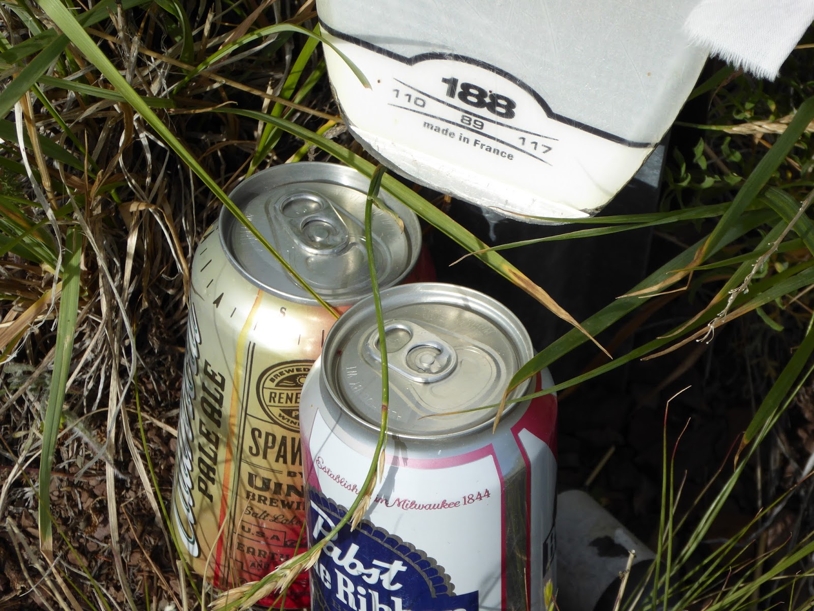
From the saddle, we followed game trails (sort of) south along a shoulder to the ridge separating Millcreek Canyon and the Canyons ski resort in Park City. We walked along the boundary line up the ridge to Murdock Peak, taking in the fantastic 360-degree views. We found a shrine up there - two skis strapped to a fence pole and two full cans of beer (PBR and Uinta Cutthroat) - honoring a local skier/ski patroller who died in 2015. We also found a trail register and signed in, noting that despite the almost complete lack of trail, lots of people have found their way to the peak. We went down the way we came up (sort of), bushwhacking through the grasses and shrubs and slicing up our shins pretty well.
We hopped on the Great Western Trail when we got down from Murdock - after pausing to pull all the tiny hitchhiking burdocks from our socks and shorts - and headed south, towards Big Cottonwood Canyon, keeping a look out for that historical trail. We started to meet MTBers at this point, most of them coming towards us. Even though technically we hikers had the right of way, we were happy to step off the trail to let them by since it was easier for us to maneuver. Almost all of them thanked us and/or wished us a good hike. This portion of the GW Trail was really nice and something I could definitely ride. I'd just have to be able to ride my MTB up the canyon to get to it. Maybe later.

Murdock summit
A little ways on was where it fell apart a little bit. We had examined our map closely and were on the look-out for a historical trail heading off to the west/northwest, to bring us back down into the Millcreek Canyon drainage. We thought we found it once but the trail, although starting strong, petered out into nothing quickly. We got back on the GW Trail and continued on, thinking we hadn't gotten to the turn-off yet. But when we reached a trail junction above Desolation Lake in Big Cottonwood Canyon, we knew we'd gone too far. Frustrated, we turned around and started going back the way we came. H was disappointed because we KNOW how to read a map and there should have been a trail. We even tried again in the vicinity of where we'd looked before, briefly considering just going cross-country/off-trail before ultimately deciding against it.

Looking back at Murdock Peak
It's a good thing we did too because not far from that spot, H noticed a narrow trail heading the way we wanted it to go. We looked at each other - could it be? - and took the plunge, noting that at some point since the last time it rained, someone had ridden a MTB on the trail. That seemed like a good sign. And it turned out to be exactly what we had been looking for. It was a great trail, descending steadily through gorgeous meadows and aspen groves, and with no one on it but us. We startled up giant dragonflies, a couple of woodpeckers and some butterflies but otherwise had it to ourselves.

Gorgeous mountain meadows
When our trail emptied us out onto the GW Trail down canyon a ways, it was a bit of a slog (3+ miles), dodging MTBers back to the trailhead. With just a mile to go, we left the GW Trail for the steeper Little Water Trail: more exposed but no MTBs. By the time we were back at the car, we were ready to be done - feet and hips sore, arms and legs dusty, hot and sweaty - but ever so pleased that the hike had turned out the way H had planned it.

Gorgeous aspen stands
Our adventure was not quite done as we met a trail runner in the parking lot who needed a ride down Millcreek Canyon: she and her running partner had taken a wrong turn ... their car was in Big Cottonwood Canyon and she was out of water. We dropped her at the mouth of Millcreek Canyon, where her husband was going to pick her up, and continued on our way. It was after 2 p.m. by the time we got home and although we had initially planned to go up to Snowbird for their Cool Air Concert (we haven't been to one yet this year), we knew we were too beat. Maybe we'll make it next Saturday - unless we find ourselves with another long-form meander in the Wasatch mountains.

Hike stats: 12.34 miles (by far our longest hike of the year); 4 hours 40 minutes of hiking, plus 1:05 of standing around looking at stuff/stepping off the trail for MTBers; 2.6 m.p.h. average speed; 2,700 feet of elevation.


No comments:
Post a Comment