
Just past Big Spring Canyon
We had boots in the dirt (or on the rock, as it were) at 8:45 a.m., with only four other cars at the trailhead (including two from Maine and a truck from Montana) and just one guy who looked like he was backpacking heading out ahead of us. The temperature was lovely and cool to start but heated up quickly under those clear skies, topping out around 88F by the time our hike was over.

Peekaboo
This hike is rated as "difficult" because of its length and exposure - there is almost no shade whatsoever for the entire 10+ mile round trip - but the walking itself is not so hard. You scramble up and over sandstone fins and then walk on a well-defined path across the valleys in between. We saw the kids from Maine as they were heading back to their cars from a night "cowboy camping" (which I took to mean sleeping in the open without tents) and caught up with the Montana guys out at the Confluence Overlook; in total, we saw twenty people out there, including the occupants of several jeeps out on the off-road roads.

Very helpful ladder
The Confluence itself was not as sharply delineated as when we'd been there in 2014, possibly because of the recent area rains. Still, you could definitely see the line where the Green River and the Colorado River merged. It's pretty cool. We found some shade under a boulder at the overlook and paused a while for the view and some snacks (apples, dried pineapple and vegan "jerky" ("Texas BBQ tofu" and "hot and spicy mushroom" which, while not fabulous, weren't terrible either - we're trying to eat healthier these days)). Then we refilled our hydration packs, reapplied sunscreen and headed back.
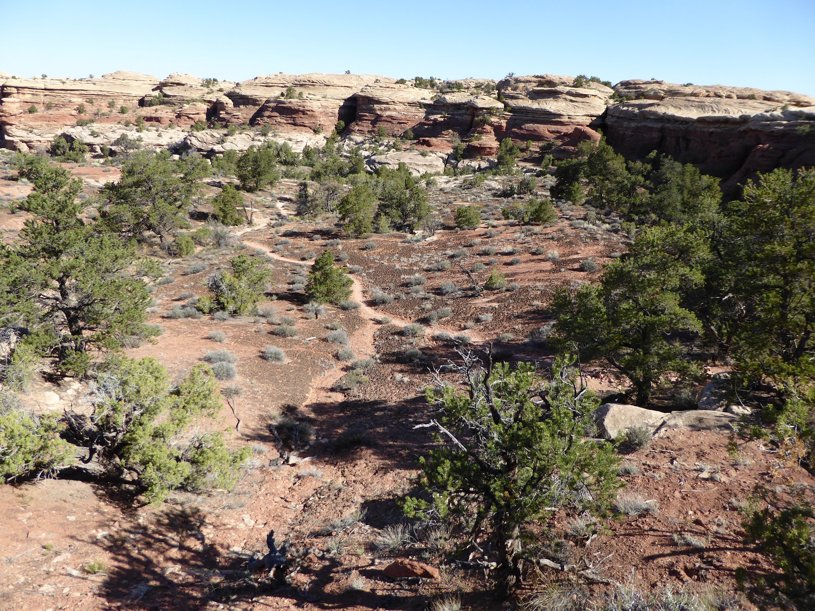
Path across the valley
This is when it started getting hot, baking in those valley crossings. I handle the heat better than H does - he puts his head down and just walks, no more talking - but even I was feeling it. I ended up putting on a long sleeve white t-shirt that I had brought to protect my arms from the sun. Even with two applications of SPF50, it wasn't enough. When we got back to the trailhead, there were a fair number of tourists milling around. I overheard a couple of them say, "This looks good - it's flat," and smiled, because they hadn't gotten to the rim of Big Spring Canyon yet, where it drops off. They had changed their minds, returned to their cars and driven off before we had even finished our post-hike beers.

View of the actual Needles
We were pretty hungry (and thirsty too), so we stopped at the Needles District visitors' center on our way. out. They have a couple of shaded picnic tables and we availed ourselves of one for chickpea salad roll-ups and more beers. Thus refreshed, we went back to camp, rolling in around 2:45 p.m. It was definitely hot at that point so we took showers and pulled our chairs into the shade provided by a twisted juniper tree for the afternoon.

Classic desert signpost
The evening was noticeably warmer and windier than it had been the night before, so we waited until sundown before making dinner (same as the previous night) and more pina coladas (which have become my new camping favorite: rum and Jumex coconut-pineapple nectar). Because of the wind, we opted not to build a campfire, instead moon- and star-gazing in the quiet night.
Hike stats: 10.44 miles; 4 hrs 5 min. moving time, 54 min. stoppage; 1,800 feet elevation gain; 2.5 m.p.h. moving average.


No comments:
Post a Comment