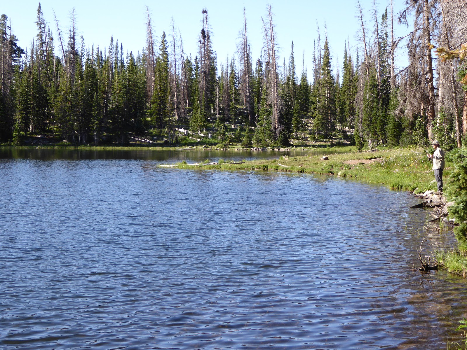
Fisherman at Picturesque Lake

I always forget how rocky the Uintas are
The parking lot was nearly full when we got to the Pass Lake trailhead a bit after 8 a.m. It seemed like most of the vehicles were for people who had been backpacking and camping over the weekend, however, because we really didn't encounter too many dayhikers when we were out on the trail. We had done the loop clockwise the first time; this time we did it counter-clockwise (mostly to go the opposite way of a group of loud-talkers) but we ended up liking the loop better this time around.

Ridge above Lofty Lake
Doing the loop this way means you get the bulk of the climbing over with early and the back half of the trail is well-shaded as the sun gets higher. I always forget how rocky the Uintas are: the trails are rugged and loose when steep and the surrounding peaks are covered with impressive scree fields. We came first to Picturesque Lake, then Steiner Lake (the scout camp did not appear to be in session), then climbed a steep rocky pitch towards Lofty Lake (elevation: 10,840 feet).

You can see how the water runs off by where the vegetation grows

Not sure which lake this is but it's pretty
Kamas Lake (10,520 feet above sea level) came next, just as beautiful as it was when we first saw it nine years ago. After that we started to descend a bit, coming to the turn-off for Cuberant Lake. There were tons of wildflowers in the marshy spots: Lewis's monkeyflower, elephant head, paint brush, geranium. We then retraced our steps back to the main trail and finished the loop.

Snack break at Kamas Lake
Milton was a tired boy: H and I had done over seven miles but we figured he'd done close to ten with all his running around. He put up with wearing his doggles while we had beers and lunch (M had water and the rest of his breakfast) and greeted the other dogs in the area with interest but not a whole lot of energy.

Lots of birds and small critters to chase in these meadows
On the way back we stopped in at The Notch in the little village of Samak (before you get back to Kamas). Their shady patio is dog-friendly, we learned, and we took advantage of that to stop in for a beer. Milton made so many friends: people really respond to how sweet and calm he is and before long, the tables on either side of us were vying for his attention. Five other dogs showed up while we were there and he again greeted them all politely, then turned back to the people for more pats. Everyone raved about how sweet he was. He really is. We got lucky when we got him.

Chillin' in the parking lot post-hike

Map isn't quite right - our GPS must have freaked out a bit

Hike stats: 7.47 miles; 3;06 hours / 2.4 m.p.h. moving; 3:47 hours total; 1,690' elevation


No comments:
Post a Comment