
One of Rock Canyon's cliffs
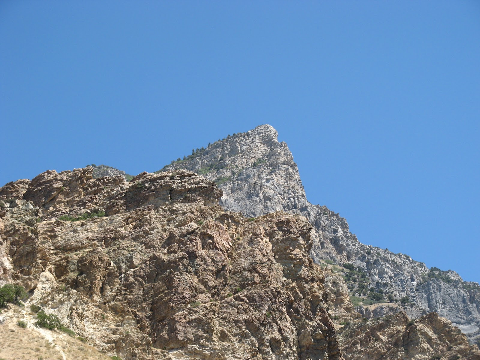
The trail is divided into three sections, really: the rocky first bit, along the bottom of Rock Canyon; the middle section going up through the trees; and the final peak approach up above treeline. The trail up Rock Canyon is wide and made of crushed rock, ostensibly to help with erosion since a creek (mostly dry now) runs down the canyon. Soaring cliffs reached high above us on either side, some faces with climbers clinging to them. After about 1.5 miles we turned left/north off the main canyon trail, taking a trail up the First Left Fork.

Peeking over the edge
This section was nearly completely shaded by aspens, oaks and a few conifers, providing nice cover for critters, including a flock of 8-10 wild turkeys that we startled off the trail. (Note: Our guidebook said that "In the hillside forest, you may spot deer and small cats. Mountain lions and even bears make an occasional appearance in Rock Canyon, but they are rare." H and I were all, let's go back to that "small cats" bit - what does that mean? Feral house-cats? Bobcats? Baby mountain lions? Yikes. Needless to say, we spotted no cats whatsoever, small or large.) The trail through here climbed steadily and, in some places, steeply; it seemed fairly humid, which must have been from all the vegetation, and we were soon pouring with sweat and drinking a lot of water.

Utah Lake and greater Provo/Orem
behind us
After crossing a mountain meadow, we wound our way up along the ridge to the summit, still climbing but not as steeply. The views were simply wonderful: Timpanogos looming to the north; three big (10,900-11,068 ft.) peaks to the northeast/east/southeast; Mt. Nebo down south; and Utah Lake and its valley to the west. If you peeked over the cliff edge, you could see the Rock Canyon trail far, far below.
Squaw Peak from the parking lot
It had taken us a little over two hours to come up but would only be about half that time on the descent - the mostly dirt trail was conducive to a quick return. By the time we got back to the car I had drunk over 1.5L of my water; I had 2L in my hydration pack and while I usually don't bring that much with me, I had a feeling I'd need it. We changed into dry clothes and sat on a fence in the shade to drink our post-hike PBRs, watching the blue skies over the cliffs and pleased at having tackled another fun hike.


No comments:
Post a Comment