
H on the trail
We strung together a loop on the Intrepid trail system: Great Pyramid to Big Chief (which is becoming our new favorite up there: technical enough in places that you have to think about what you're doing but also with some great flowy sections and gentle slickrock) to Crossroads to Whiptail and then back to the truck via Raven Roll (16.3 miles). We saw lots of desert cottontail rabbits and one big, lanky jackrabbit, and we didn't have to share the trail with very many people.

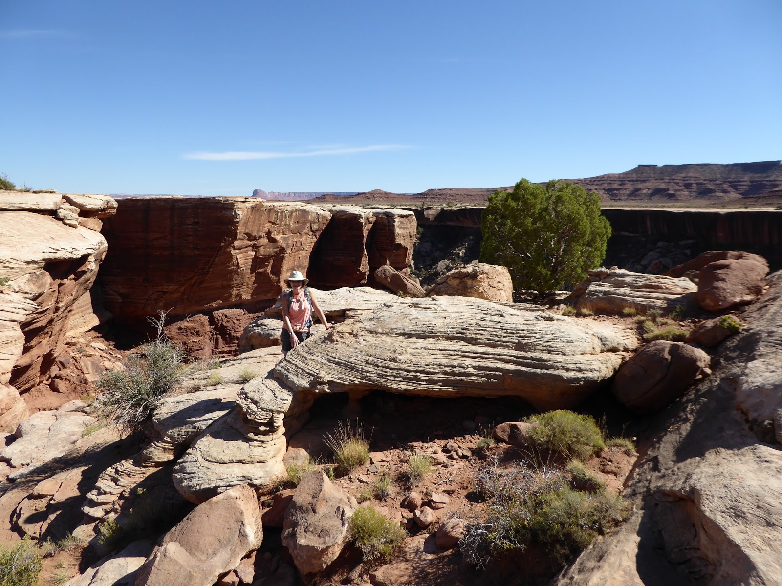
That's me, just a couple of switchbacks
from the top of the Gooseberry Trail
Next stop was in Canyonlands National Park, which may be my favorite park due to the lower concentration of visitors and high concentration of hiking trails. We drove out to the Island in the Sky picnic area, also the location of the Gooseberry Trail. I have been wanting to do this trail since last May when we learned of its existence. It is a crazy trail, basically carved into the side of the cliff from Island in the Sky to the White Rim plateau.

And that's me, middle of the photo,
several more switchbacks down the trail
When you peek over the edge at the start, you think, "There can't possibly be a trail down this." But there is and the Park Service has done a wonderful job maintaining it. It is very steep and rocky, with many short switchbacks and steps, but it is absolutely doable.

We came down from between those two knobs
It also loses 1,300 feet of elevation in less than 1.5 miles. It's STEEP. Because it's so steep and a little scary, not many people hike Gooseberry, despite it being smack-dab in the middle of Island in the Sky. We only saw six hikers: three guys in their 20s heading up as we were going down; two young women coming up the wash as we headed out; and one older solo hiker coming down as we started up.

H on flat ground, walking out the wash to the White Rim
After we carefully made our way down the cliff side (which took us an hour, being very careful), we walked out along the wash to the White Rim overlook. The layer of rock that makes up the White Rim is impressive up close: an overhang approximately thirty feet thick that drops away into the labyrinthine canyons below. We duly admired the view, had a quick snack and then retraced our steps (an hour, out and back through the wash).
Me at the White Rim

We are headed up between those two protuberances
We weren't stopping for pictures on the way up, for one thing, and we just dug in and put one foot in front of the other. Reaching the Island in the Sky rim really felt like an accomplishment - we earned our beers on Gooseberry (5.5 miles).

Our route on the DHPSP trails
We went back to the motel to clean up, then had a couple of drinks at Woody's Tavern before strolling over to the very busy Milt's Stop n' Eat. We had thought to get our meal to go and then eat at the outdoor picnic tables. The to-go line was huge, however, and when a couple of counter seats opened up, we jumped on them. Our burgers, hand-cut fries and chocolate shakes were delicious. Kudos to the hardworking folks working the line at Milt's.

A definitive out-and-back on Gooseberry


No comments:
Post a Comment